
Kyrgyzstan lies in the north-east of Central Asia, between 39° and 43° north. The Tien Shan covers the north and east of the country and the Pamir-Alai the south-west. It borders Kazakhstan (1,049 km), Uzbekistan (1,378 km), Tajikistan (972 km) and China (1,049 km); from west to east it stretches 925 km and from north to south 454 km.
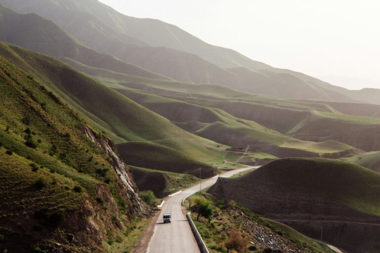
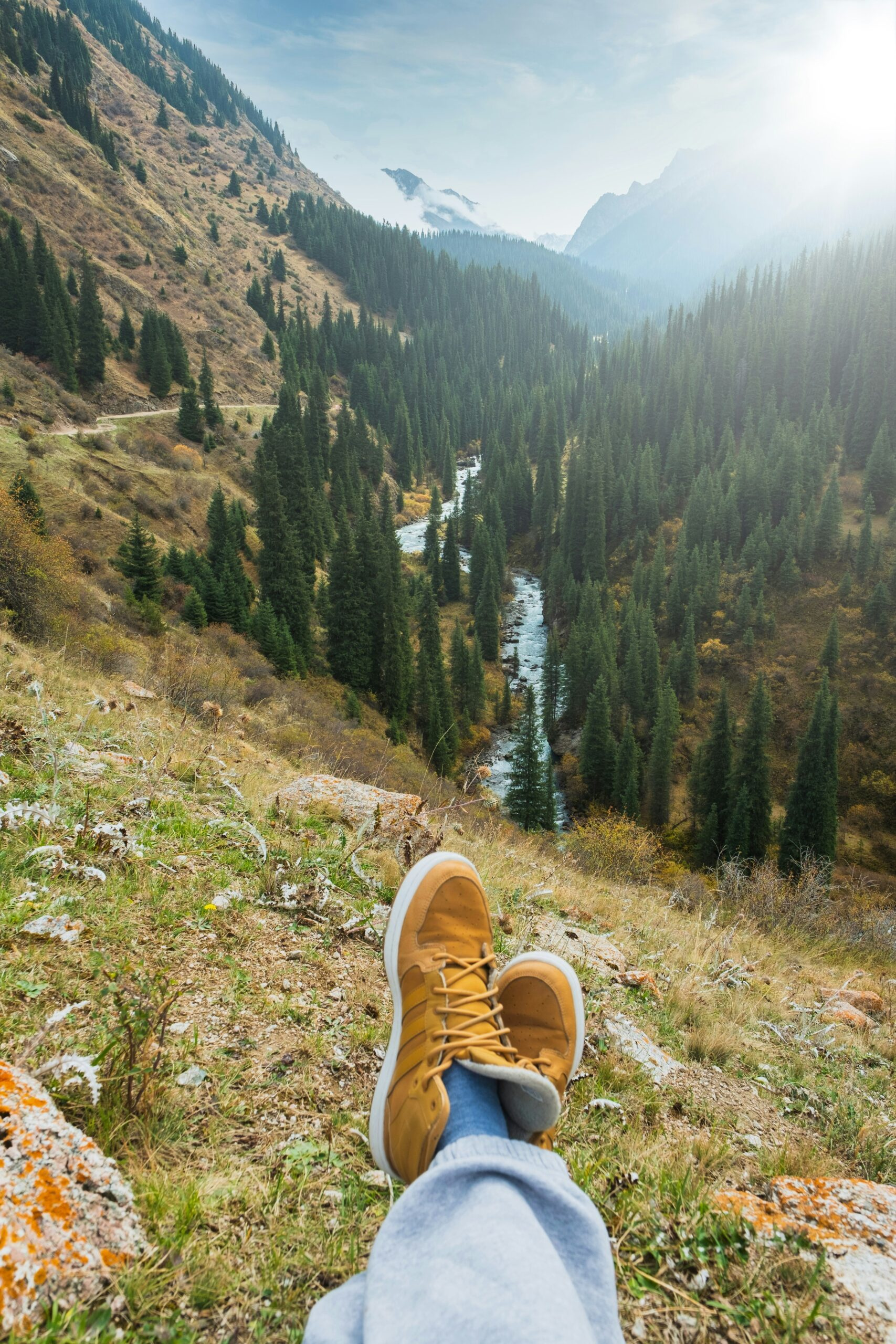
It is one of the most mountainous countries in the world: the average altitude is 2,750 m, more than 94% of the land lies above 1,000 m and about 40% above 3,000 m. The lowest point is just 401 m above sea level.
Mountains and peaks
The highest part of the country is its eastern edge on the Chinese border, where the knot of the Central Tien Shan holds Jengish Chokusu (Pobeda peak, 7,439 m) and Khan-Tengri (7,010 m). From here the ranges fan out west and south-west in long parallel chains of 300–400 km. On the border with Tajikistan rises the Chon-Alai (Trans-Alai) range with Lenin peak (7,134 m), the country’s second-highest summit.
| Range | Highest point | Height |
|---|---|---|
| Kokshaal-Too | Jengish Chokusu (Pobeda) | 7,439 m |
| Chon-Alai (Trans-Alai) | Lenin peak | 7,134 m |
| Turkestan | Sabla | 5,621 m |
| Alai | Tandykul | 5,880 m |
| Terskey Ala-Too | Karakol peak | 5,280 m |
| Kyrgyz Ala-Too | — | 4,855 m |
| Kungey Ala-Too | Chok-Tal | 4,771 m |
| Talas Ala-Too | Manas peak | 4,488 m |
Climbers who summit all five seven-thousanders of the former USSR — three of them on Kyrgyz territory — receive the honorary title of ‘Snow Leopard’.
Glaciers, rivers and lakes
Kyrgyzstan has about 8,200 glaciers covering some 4% of the country. The largest, the South Inylchek, is about 60 km long and flows from the Khan-Tengri massif. Since the 1950s the glaciers have shrunk by around a fifth.
More than 40,000 rivers and streams run off the mountains — fast and cold, they rarely freeze. The Naryn, the main source of the Syr Darya, is the longest; the Chu, Talas, Chatkal and Sary-Jaz are others you will cross on our routes.
There are about 1,900 lakes, most of them between 3,000 and 4,000 m:
| Lake | Altitude | Area | Max depth |
|---|---|---|---|
| Issyk-Kul | 1,606 m | 6,236 km² | 668 m |
| Song-Kol | 3,016 m | 275 km² | 21 m |
| Chatyr-Kol | 3,530 m | 175 km² | 17 m |
| Sary-Chelek | 1,878 m | 4.9 km² | 234 m |
| Kel-Suu | 3,514 m | 4.5 km² | 15–20 m |
| Kara-Suu | 2,022 m | 4.2 km² | 150 m |
| Merzbacher | 3,304 m | 4.5 km² | — |
The seven regions — and what to see
Chui
The northern valley around Bishkek. Ala-Archa National Park, the Burana Tower and the waterfalls of Kegeti, Chon-Kurchak and Issyk-Ata are all day trips from the capital.
Issyk-Kul
The ‘pearl of Kyrgyzstan’: beaches on the north shore around Cholpon-Ata, and on the south shore the gorges of the Terskey Ala-Too — Barskoon, Jeti-Oguz, Altyn-Arashan and Ala-Kol above Karakol.
Naryn
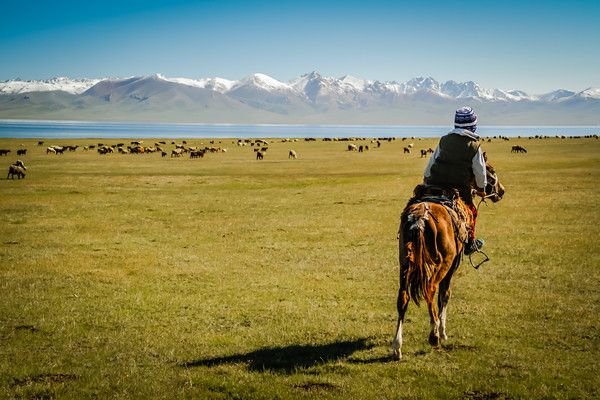
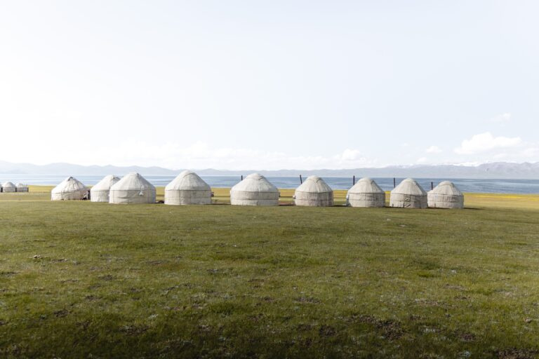
The high heart of the country: Song-Kol lake and its summer pastures, Kochkor’s felt-makers, the Tash-Rabat caravanserai, Chatyr-Kol and the remote Kel-Suu lake near the Chinese border.
Talas
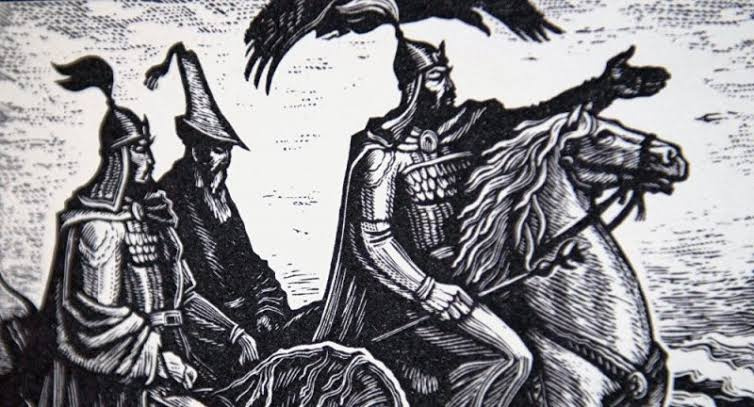
A quiet north-western valley linked to the Manas epic, with the Manas Ordo memorial complex.
Jalal-Abad
Walnut forests of Arslanbob, Sary-Chelek lake and the Chychkan gorge — greener and warmer than the north.
Osh
Osh, the ‘southern capital’, with the sacred Sulaiman-Too mountain, and Uzgen’s medieval minaret. The Alai valley leads to Lenin peak.
Batken
The far south-west on the Turkestan range — dramatic rock walls and some of the country’s least-visited valleys.